


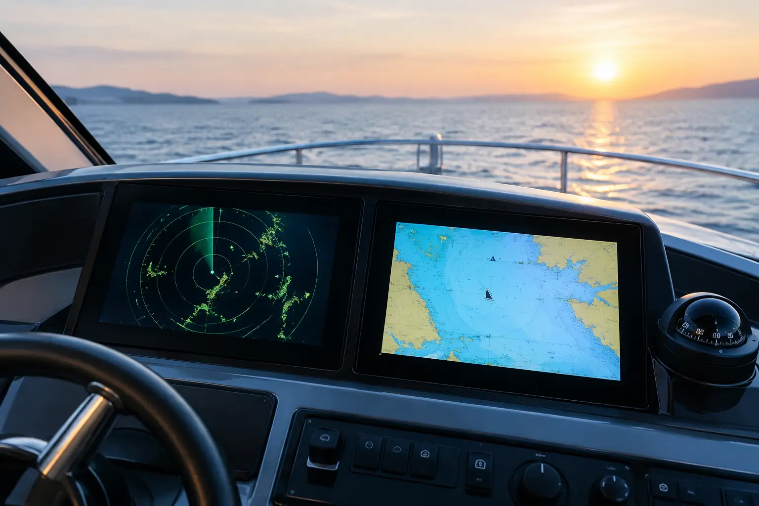
Fog between islands, night approach to a harbor, or a busy waterway are not situations where you want to guess what lies ahead of your bow. The question of Radar vs AIS is therefore not a choice between two similar functions on a multifunction display. It concerns two different sources of navigation data, each with its limitations, that together can significantly enhance situational awareness on your vessel.
Boat owners often first ask if they need radar when they already have AIS, or whether installing AIS is worthwhile if the radar is already reliable. The correct answer depends on the type of navigation, area of use, vessel size, existing instrument network, and how navigation is organized at the helm. Neither system replaces good seamanship, visual lookout, and the commander's judgment.
Radar vs AIS: fundamental difference
Radar actively scans the area around the vessel. The antenna emits radar pulses and processes the returned echo from objects such as land, capes, navigation marks, other vessels, rain clouds, and depending on conditions, obstacles on the sea surface. Radar can display an object regardless of whether it has electronics installed or if an appropriate device is activated.
AIS, the Automatic Identification System, receives or transmits digital messages between equipped vessels and coastal stations. On a compatible plotter screen, it can display vessel identity, call sign, MMSI, position, course over ground, speed, estimated time of arrival, and on many professional vessels, additional data such as destination and dimensions.
The key difference is simple: radar displays the reflection of a physical object, while AIS shows data transmitted by another vessel. Radar can detect an unmarked floating obstacle, a small boat without AIS, or the shoreline. AIS can immediately indicate that a target is an approaching cargo ship, its course, and any risk of close passing.
What radar sees and what it does not
Radar is especially valuable when visibility deteriorates. In night navigation, rain, mist, or fog, it provides an independent image of the immediate surroundings. A well-configured system facilitates tracking the coastline line, recognizing harbor entrances, and monitoring traffic when visual contact is insufficient.
However, radar does not see everything equally well. Its effectiveness depends on antenna height and position, transmission power, radome type or open antenna, sea conditions, rain, target distance, and radar cross-section of the object. A small plastic boat, a wooden object low on the water, or a partly submerged obstacle may yield weak or unstable echoes. Waves and precipitation can also create interference that needs proper filtering by adjusting sensitivity, sea and rain clutter suppression, and the appropriate range.
Modern radars' automatic functions are useful but do not exempt the crew from verifying the display. If settings are too aggressive, the system may remove weak targets along with clutter. If not adjusted to conditions, important targets can be lost in a cluttered display. Therefore, installation is not complete with antenna mounting alone. Correct positioning, connection to heading sensors and GPS, data source configuration, and sea trials are essential.
Antenna position matters more than it seems
The antenna should be mounted high enough for a good horizon, yet without unnecessary obstructions and mutual interference with other equipment. Masts, superstructures, solar panels, satellite antennas, and metal frameworks can create shadows in the radar beam. On a sailing yacht, positioning on the mast, vessel heel, and service access are especially evaluated, while a motor yacht requires careful arrangement checks on the hardtop or radar arch.
Where AIS has the advantage
AIS provides context about an equipped and actively transmitting target extremely quickly. Instead of an unmarked dot on the radar screen, you can see the vessel's name, course, and speed. Integrated with a plotter and relevant navigation data, the system can calculate CPA and TCPA—the closest point of approach and time to it. This aids in early recognition of situations requiring course or speed changes.
For cruising the Adriatic, an AIS receiver can be very helpful when encountering ferries, passenger ships, tugs, and commercial traffic. For vessels that often navigate at night, cross open stretches, or operate professionally or in charter mode, an AIS transceiver further increases the visibility of their own vessel to other system users.
However, AIS is not an electronic guarantee that the sea is clear. Many smaller recreational vessels do not carry AIS. Some devices may be switched off, incorrectly configured, or have limited range due to VHF antenna placement. Fishing nets, floating debris, buoys, and shore do not transmit AIS messages. Course and speed data also need interpretation in context, especially when the vessel is maneuvering, changing speed, or affected by currents.
Why the combination is often the right solution
Radar and AIS are not competitors in the literal sense. They complement each other. Radar provides an independent image of objects nearby, while AIS quickly identifies some of those objects and facilitates traffic assessment. When an AIS target overlays a radar return, the crew gains useful confirmation of position and movement. When a radar target appears without an AIS label, it clearly requires extra attention.
For a vessel primarily used during the day, in familiar areas, and good visibility, a quality AIS receiver or transceiver combined with a reliable plotter can be a reasonable first step. For a yacht that navigates at night, makes longer passages, regularly enters harbors in poor visibility, or receives guests in charter operations, radar is often a justified component of the navigation system. On higher-value and professional vessels, a combination of radar and AIS usually provides a more meaningful level of redundancy.
Choice should not be reduced to just a list of functions. On a small helm station, too much data can reduce clarity. It is necessary to determine which information the captain really needs to see, on which screen, with which alarms and under which conditions. A CPA alarm that triggers every few minutes quickly becomes background noise if not properly configured.
Integration with existing onboard electronics
Navigation display quality depends on the whole system, not just radar or AIS. The multifunction display, GPS antenna, compass or heading sensor, VHF radio, autopilot, and NMEA 2000 or NMEA 0183 network must exchange data in the correct format without source conflicts.
The heading sensor is particularly important. For stable radar overlay on charts and advanced target tracking functions, accurate and correctly calibrated bow direction data are required. Without it, radar can operate, but the display will not offer the precision expected during maneuvering or navigation in restricted visibility.
For AIS, the VHF installation, antenna quality, antenna sharing with the radio if a splitter is used, power supply, MMSI programming and correct vessel static data setting are checked. Incorrectly entered dimensions, GPS antenna position, or vessel name are not minor details. These data can be seen and used by other vessels and coastal services in assessing situations.
During refits, we often find equipment of different generations, multiple GPS sources, incompletely labeled cables and network segments extended later. In such cases, recommending a device without reviewing the existing condition is irresponsible. First, the system architecture, available connections, power consumption, fuses, antenna condition, and user requirements must be determined.
From equipment selection to sea trials
Professional radar and AIS installation involves more than physical mounting. Technical compatibility checks, equipment positioning design, proper cable dimensioning and protection, connection execution, network configuration, software setup and commissioning are required.
After installation, the system must be tested in real navigation conditions. For radar, orientation of the display, ranges, echo quality, shadow zones, and alarm function are verified. For AIS, reception of targets, correct transmission of own data for transceivers, and connection to plotter and VHF are confirmed. The crew must then be clearly instructed on alarm meanings, display adjustment, and system limitations.
UnLucky approaches such projects through vessel inspection, selection of compatible equipment, installation and integration, configuration, diagnostics, and technical support after commissioning. The goal is not to overwhelm the helm with functions, but to build a navigation system that is clear, verifiable, and tailored to the actual use of your vessel.
If you are considering radar, AIS, or upgrading your existing navigation system, send an inquiry with basic data about your vessel, existing electronics, and navigation style. The right decision starts with reviewing the actual condition, because safety at sea should not be left to assumptions. Because Luck Has Nothing to Do With It.